black and white bed linen

Cartographie print & digital

Rendre un territoire lisible, utile et valorisant.

Nous transformons les données géographiques en cartes claires, fiables et graphiquement soignées pour informer, orienter, décider ou promouvoir un territoire
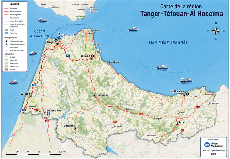
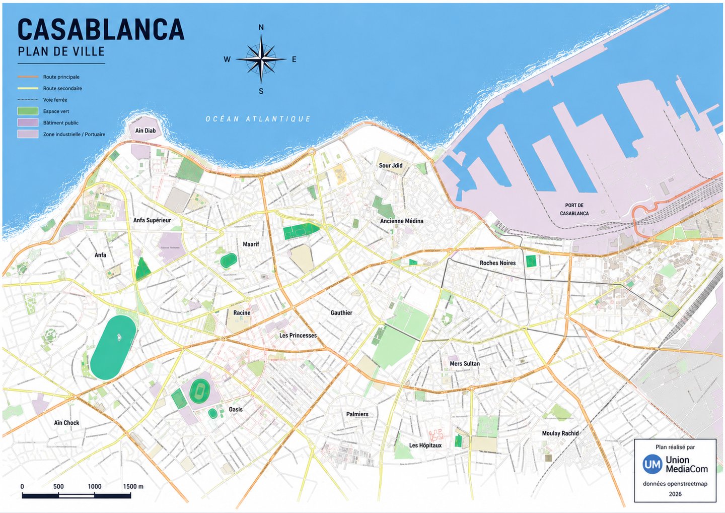
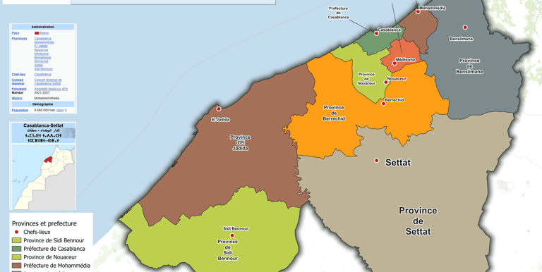
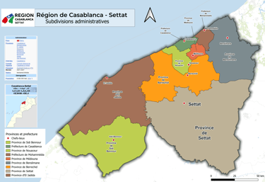
Nos services

Une cartographie conçue à la fois comme outil technique et support de communication.

Cartes Régionales

Des plans de ville lisibles pour guider habitants et visiteurs.

Plans de villes

Représentation claire des territoires et zones d’activité.

A detailed urban map highlighting streets and landmarks with clean design.

Cartes interactives

Des plans de ville lisibles pour guider habitants et visiteurs.

Cartes thématiques

Représentation claire des territoires et zones d’activité.

Cartes

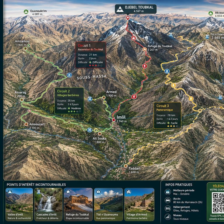
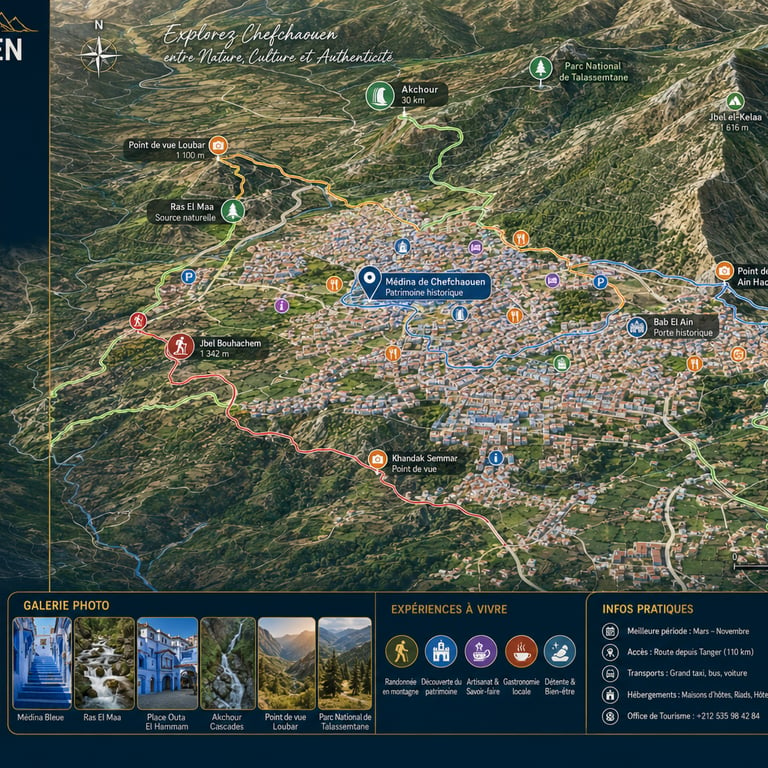
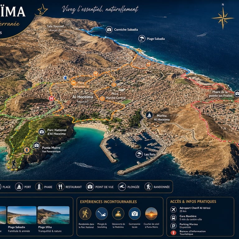
Exemples de nos plans urbains et cartes thématiques
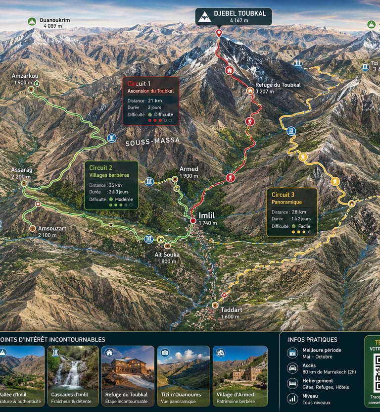
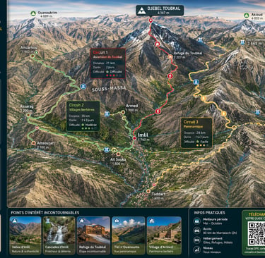
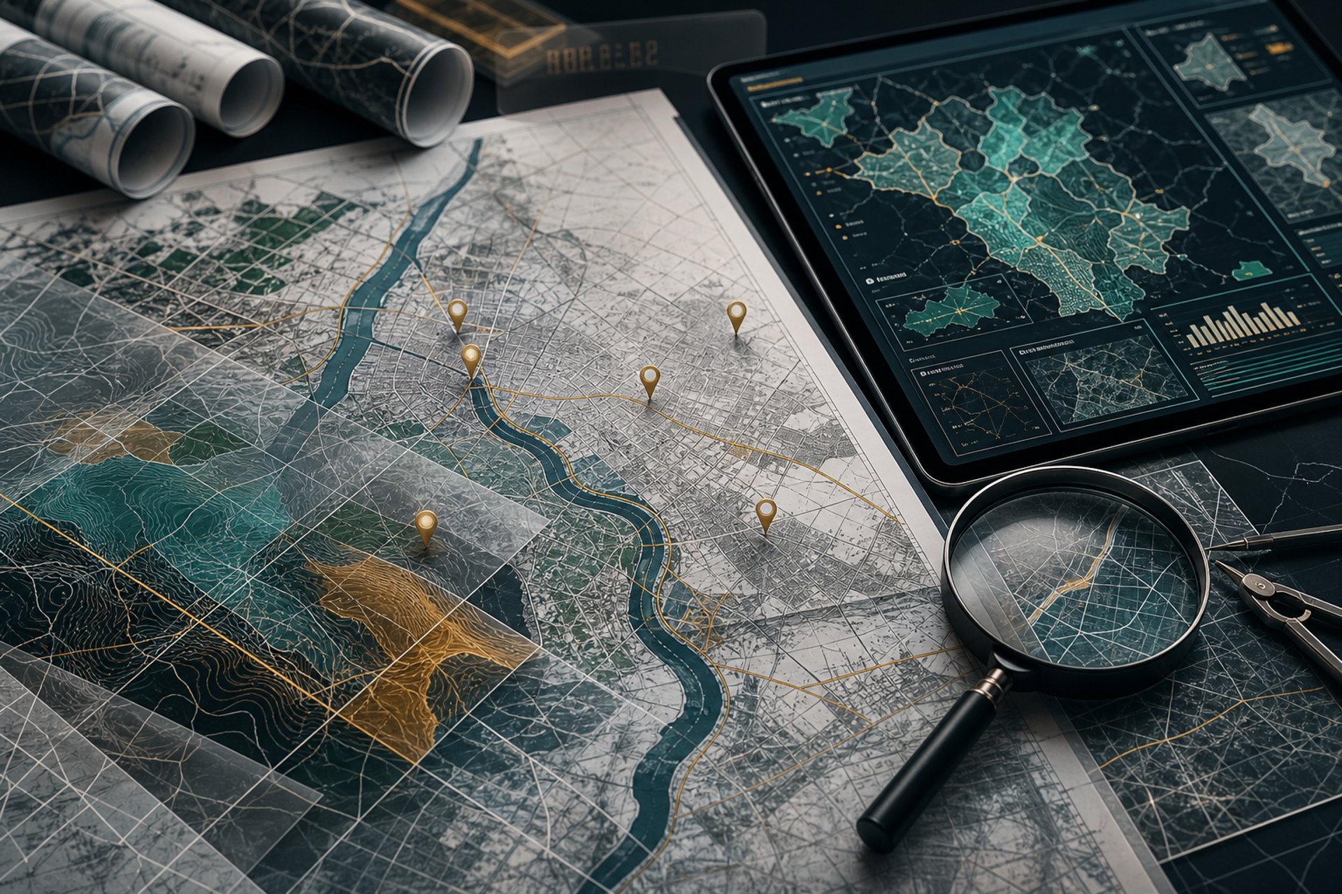
A detailed urban city map highlighting key landmarks and transportation routes.
A thematic tourism map illustrating points of interest and natural parks with pictograms.
A graphic cartographic design featuring layered data and a visually balanced legend.
A printed map ready for official documents, showcasing precise data and clean layout.

Gallérie Cartes 3d

Provide a short description of the gallery, highlighting key things.

Contactez-nous

A detailed map illustration showing urban and regional zones with clear legends and color coding.

Pour toute demande, échangeons sur vos projets cartographiques précis et personnalisés.